Farthest North (2017-19)
(with Aly Ogasian)
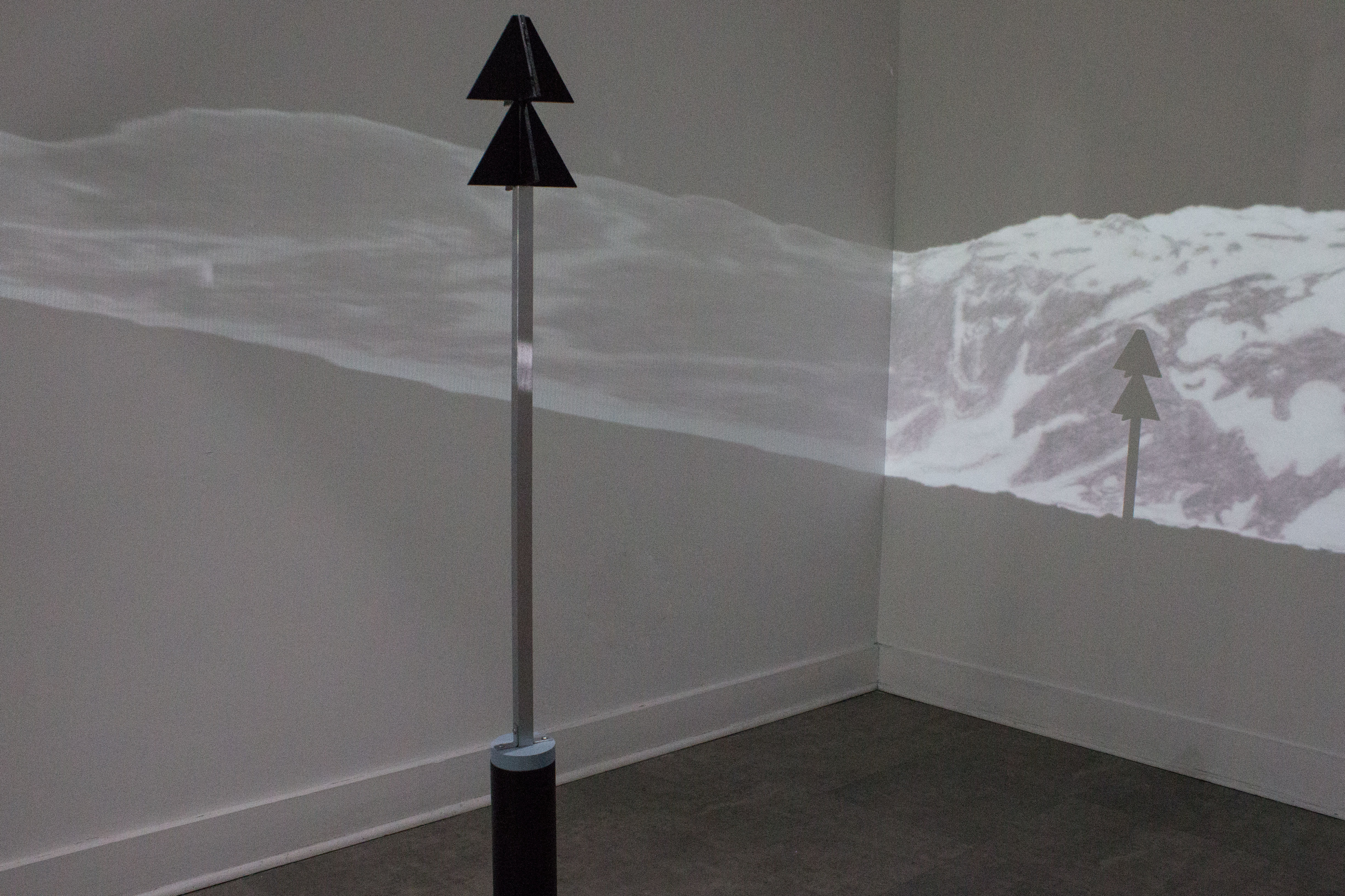
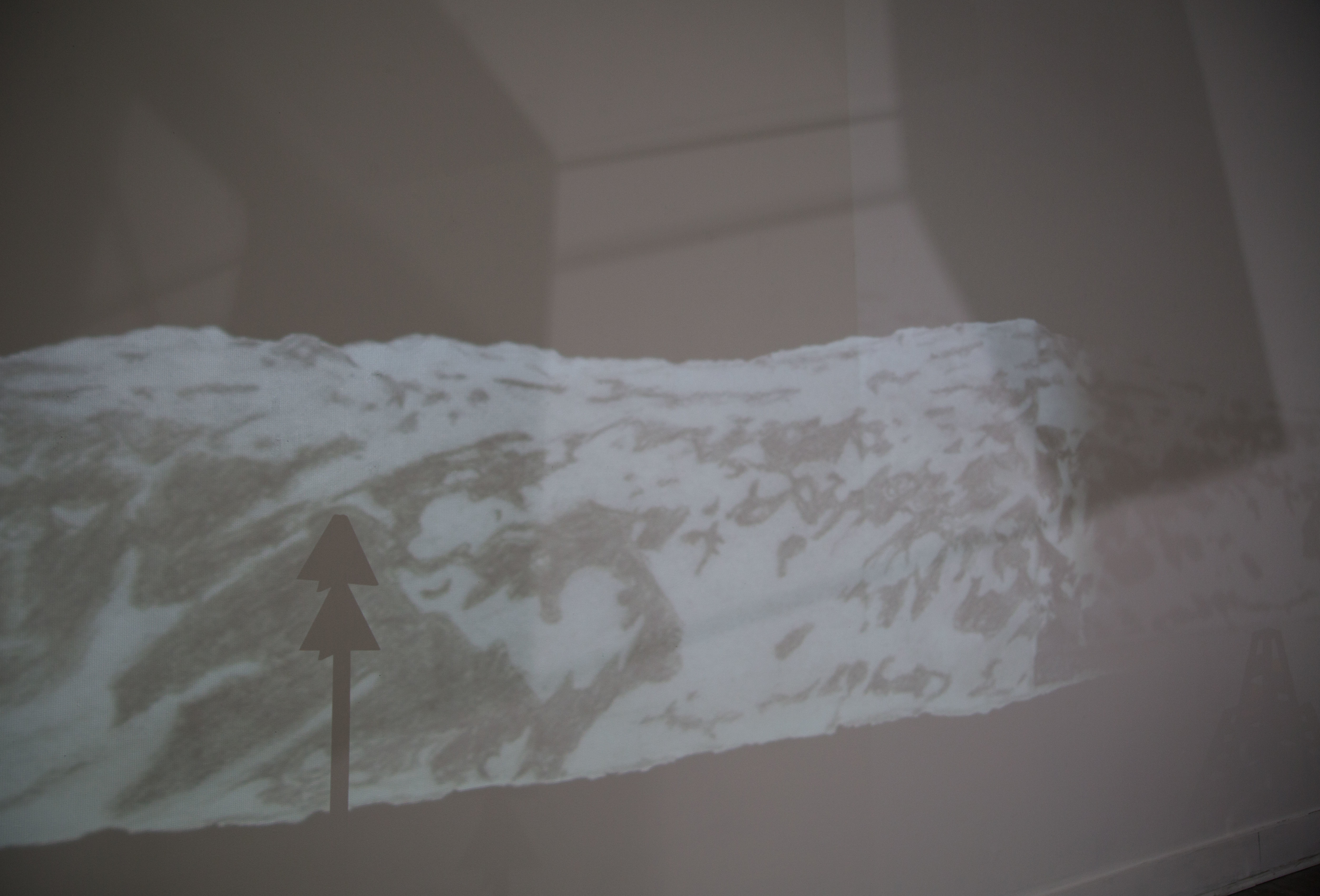
Farthest North synthesizes the profound psychological effect of traversing one of the most rarefied places on Earth in the footprints of a failed explorer. In 1897, explorer S.A. Andrée attempted to fly to the North Pole in a silk hydrogen balloon. Andrée intended to be first to the North Pole, and planned to map the region using aerial cameras engineered for cartographic use. Shortly after taking off from the archipelago of Svalbard, however, the expedition crashed. Their remains were found 33 years later, the cause of their deaths unknown. Amongst the remains were several canisters of exposed film, preserved in the snow.
Miles away in space and time, we spent the better part of 2016 deciphering the topography of the arctic landscape through the flat surface of a screen, closely inspecting each pixel. Later that summer, we travelled to the high arctic, retracing the route of Andrée. From the top of a mountain, we gazed across Virgohamna, the same arctic harbor that appears in Andrée’s photographs, and below them observed the remains of his balloon hangar, ravaged by the harsh climate.
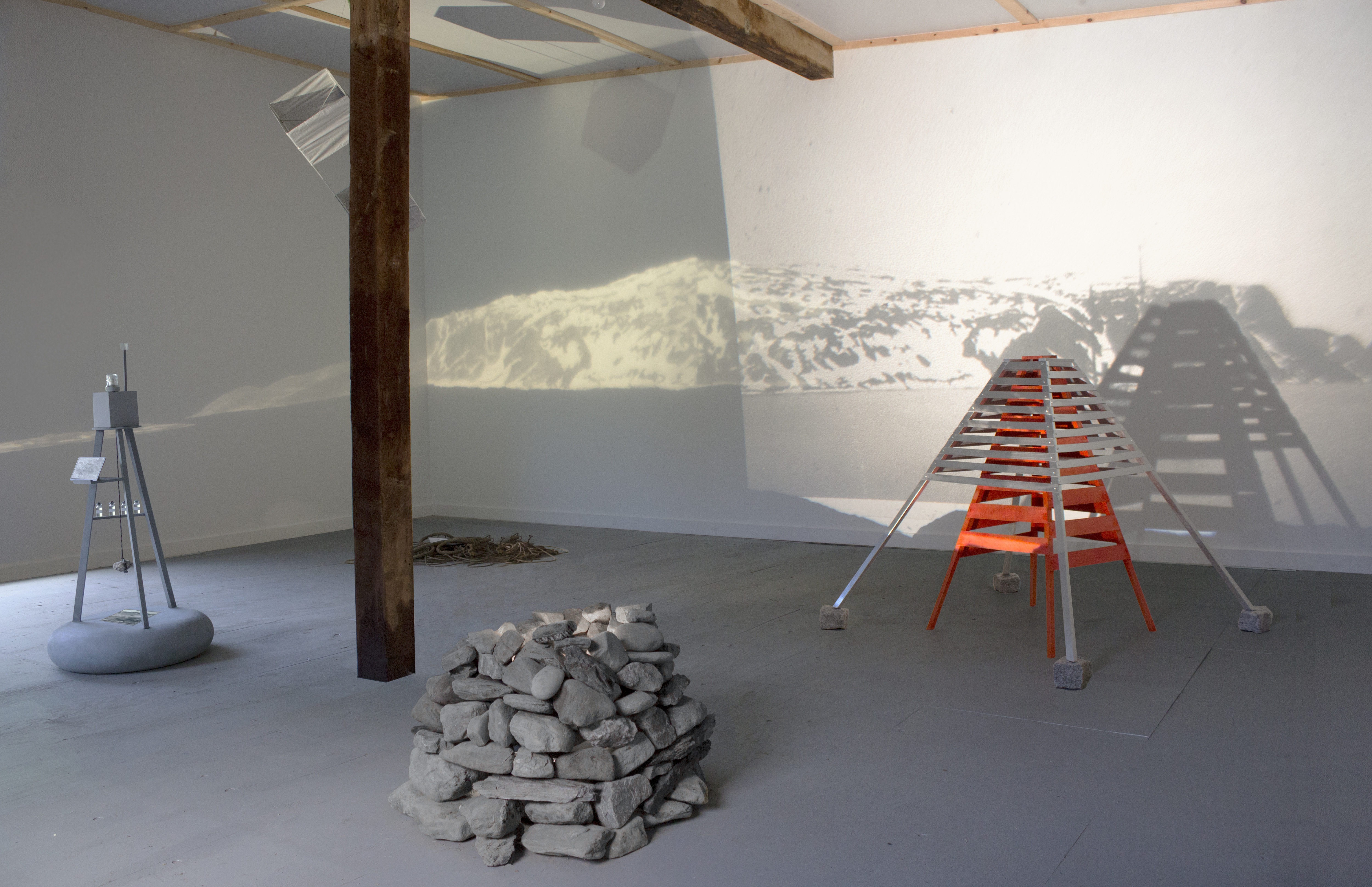
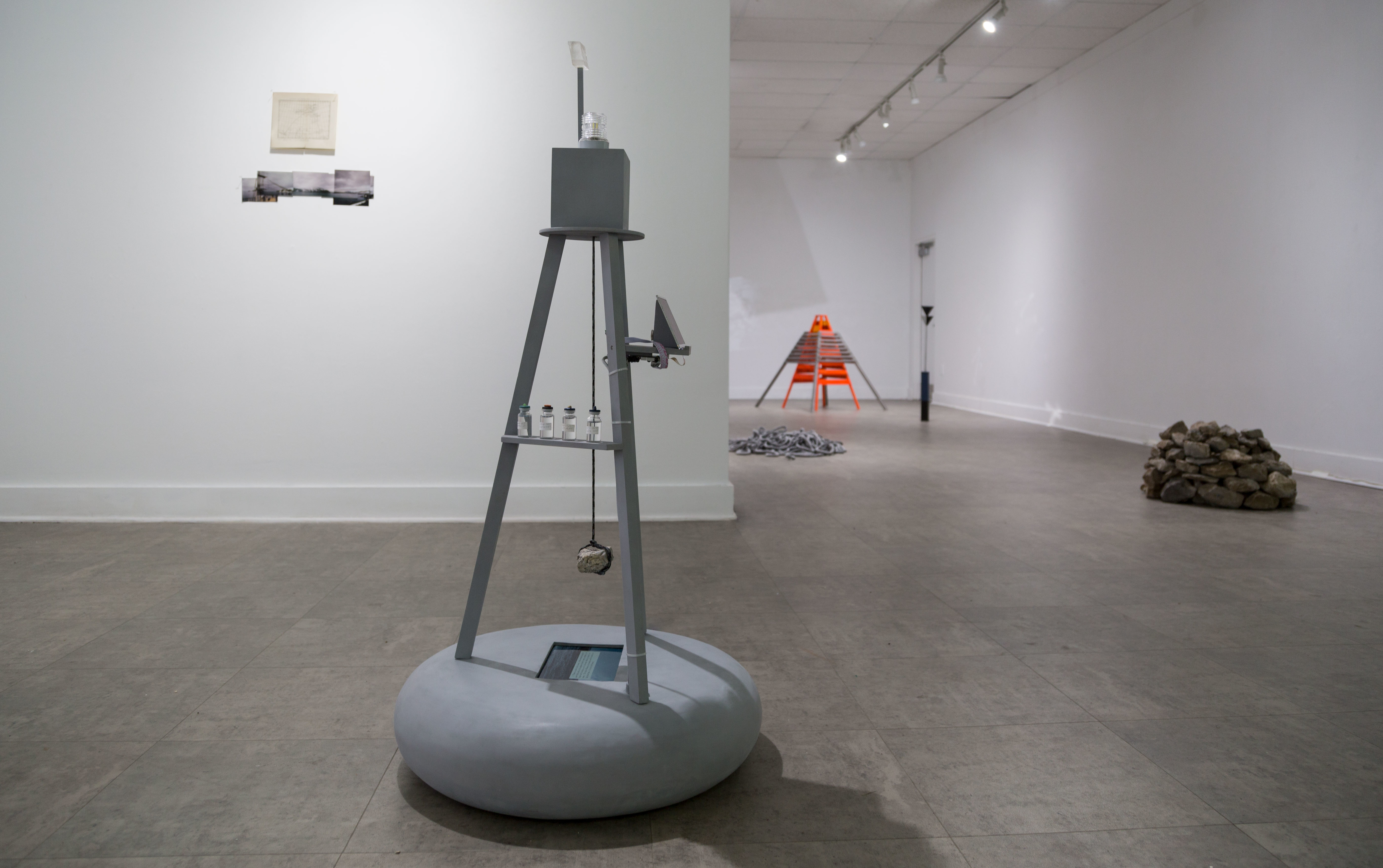
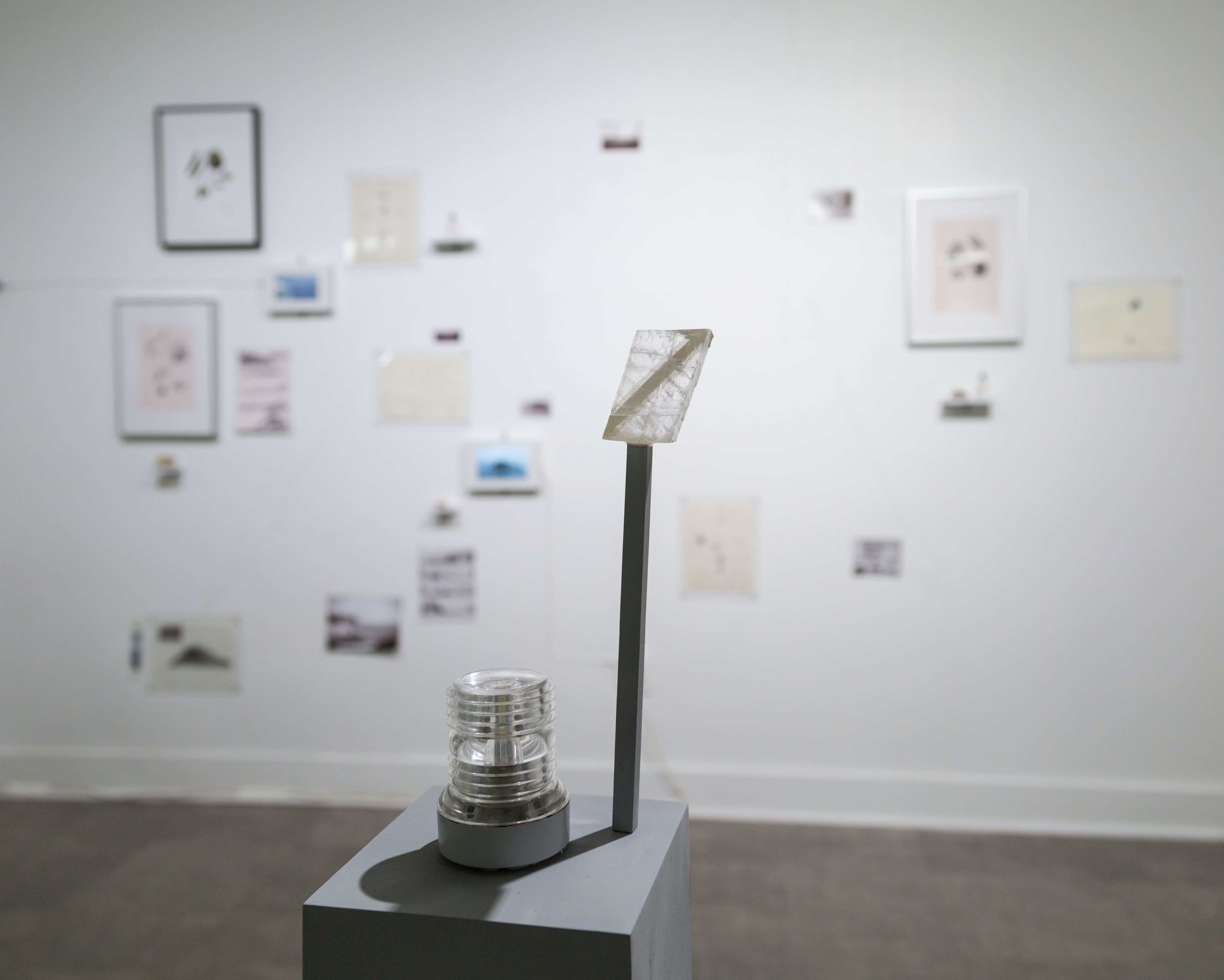
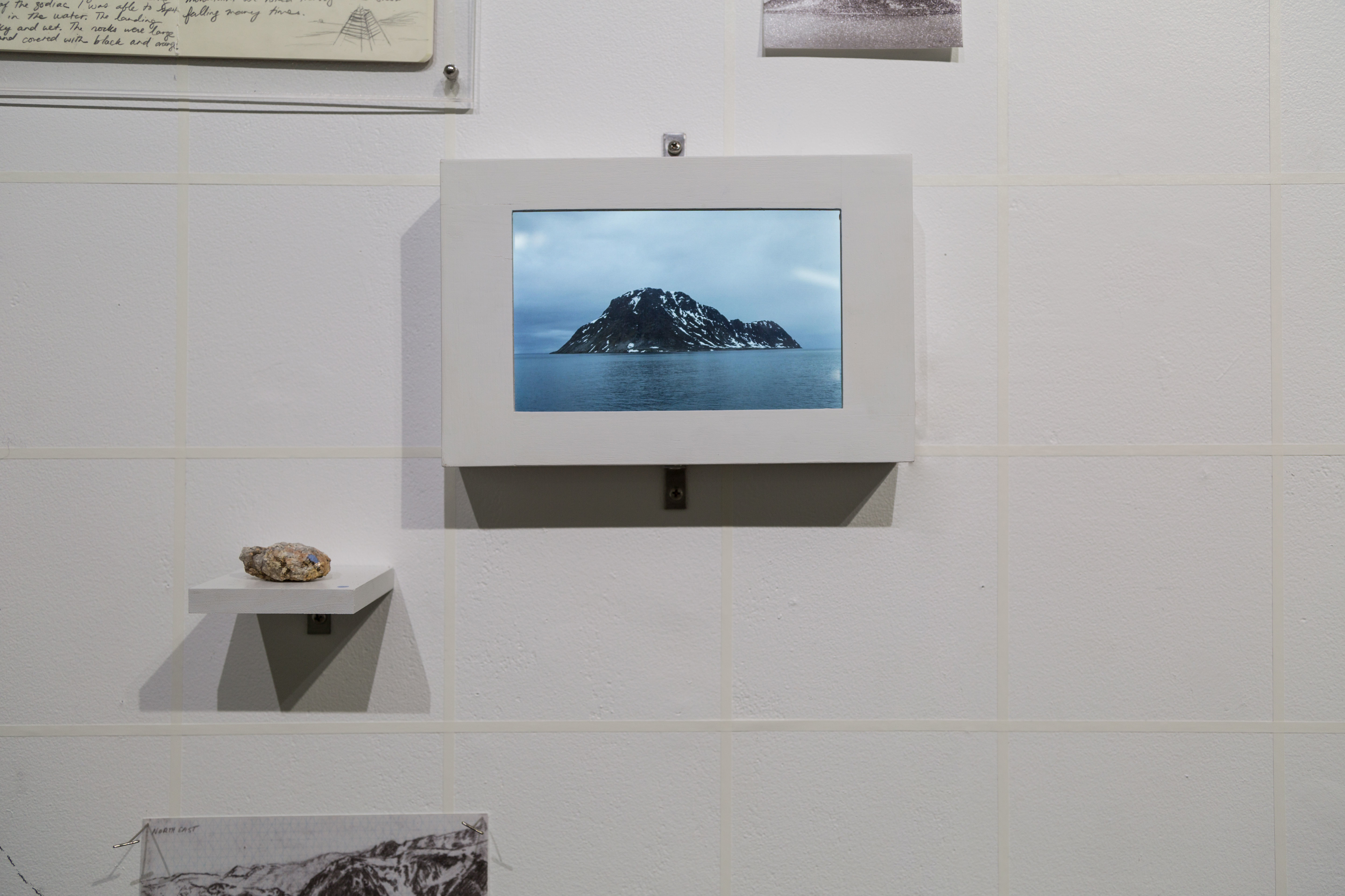
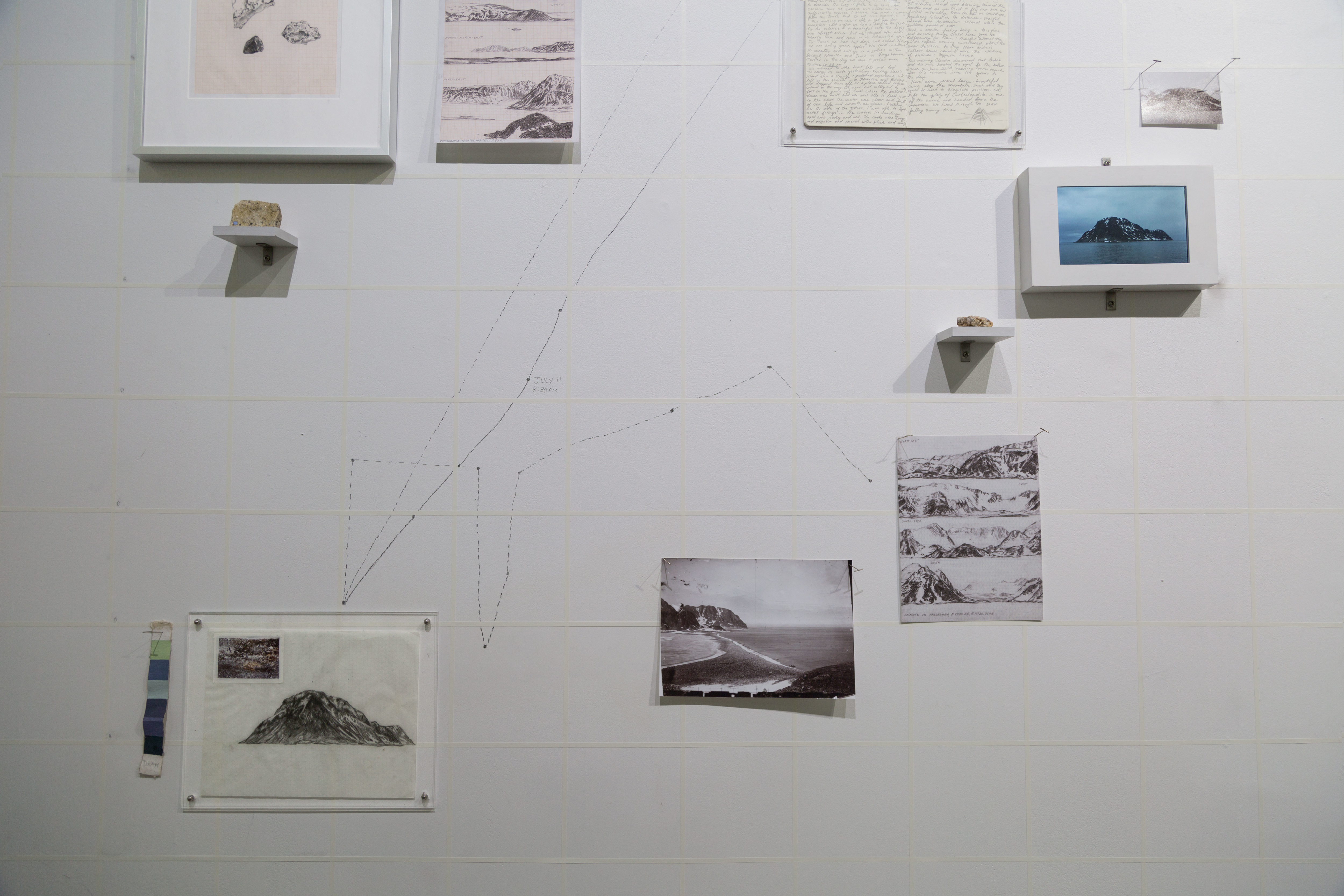
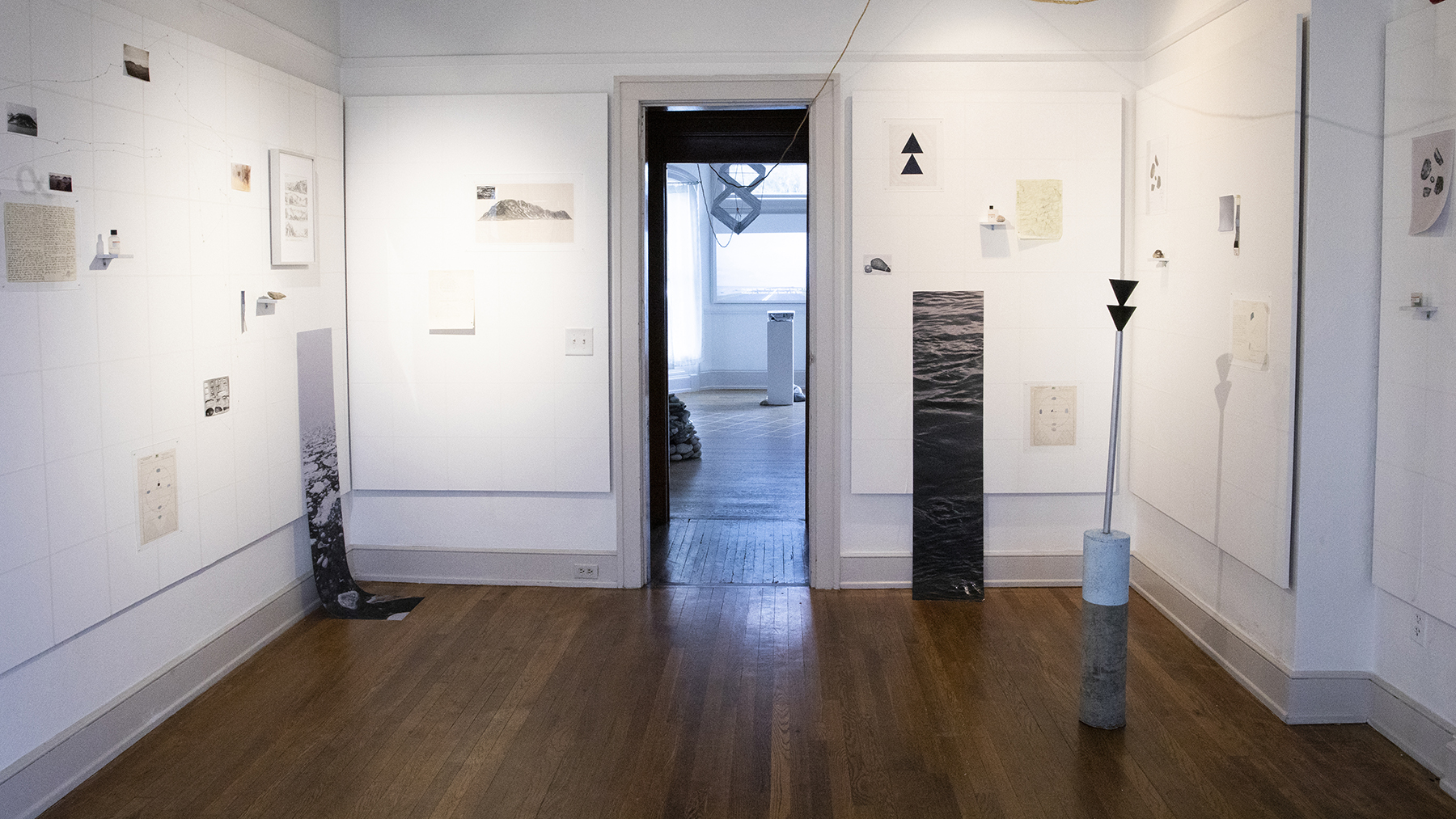
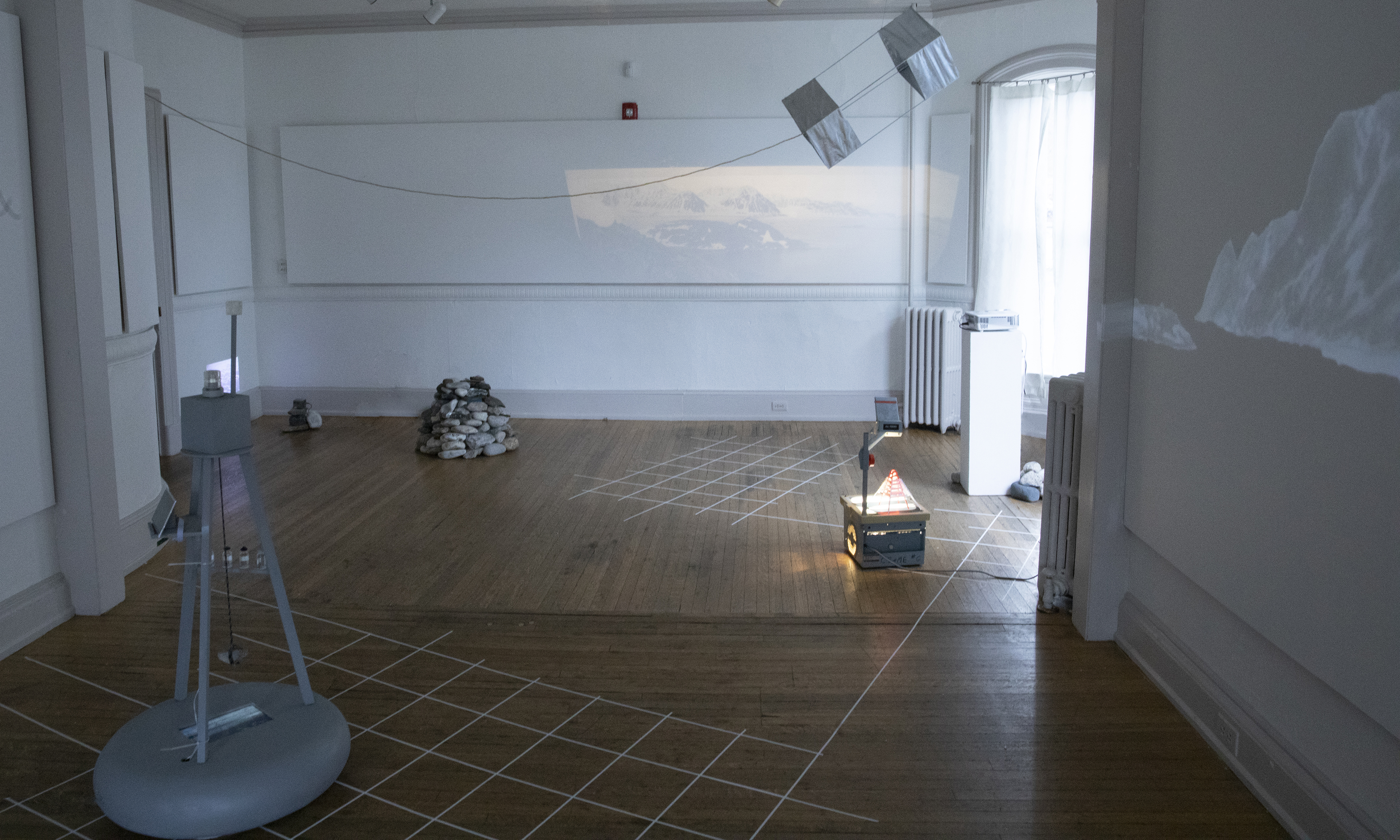
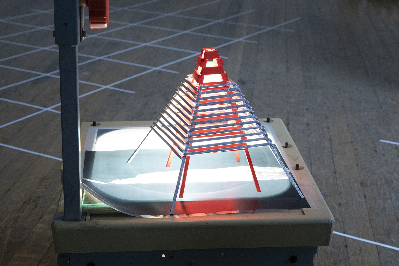
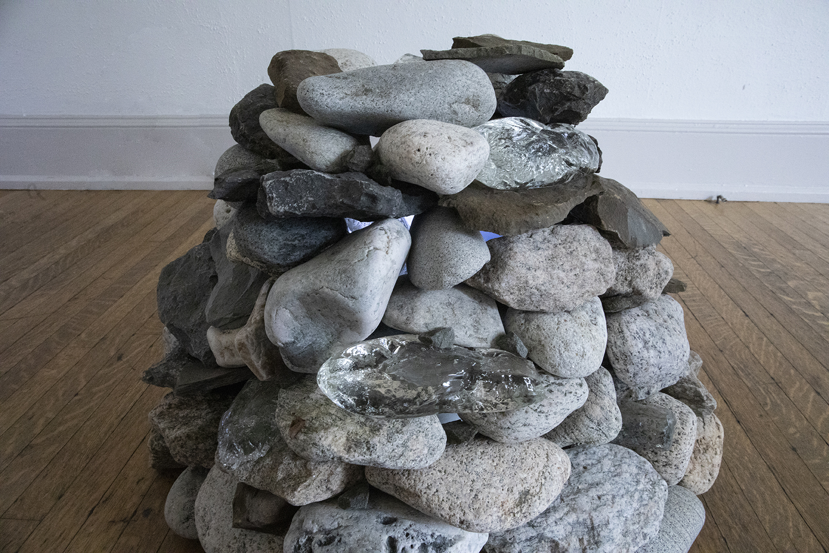
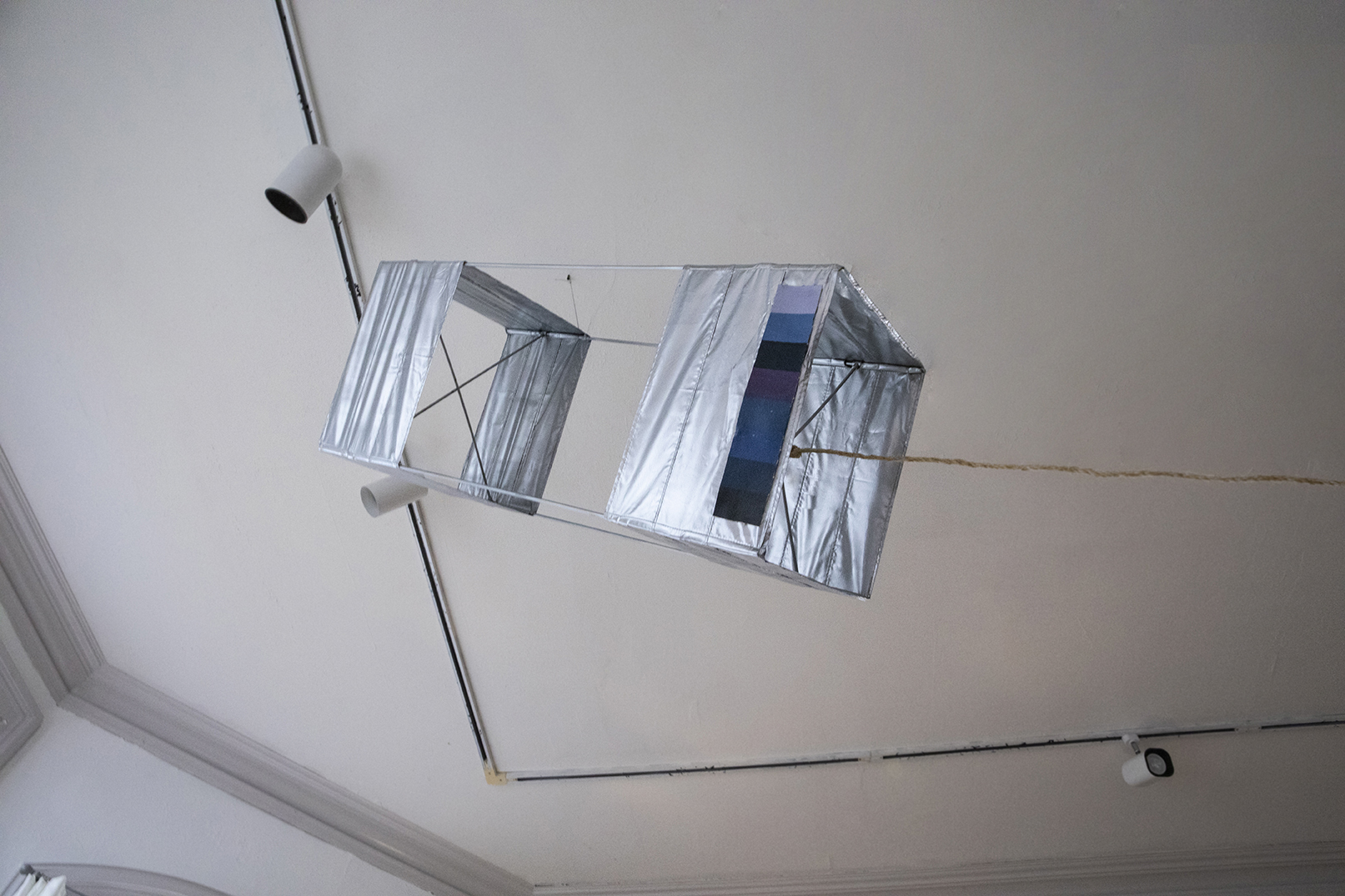
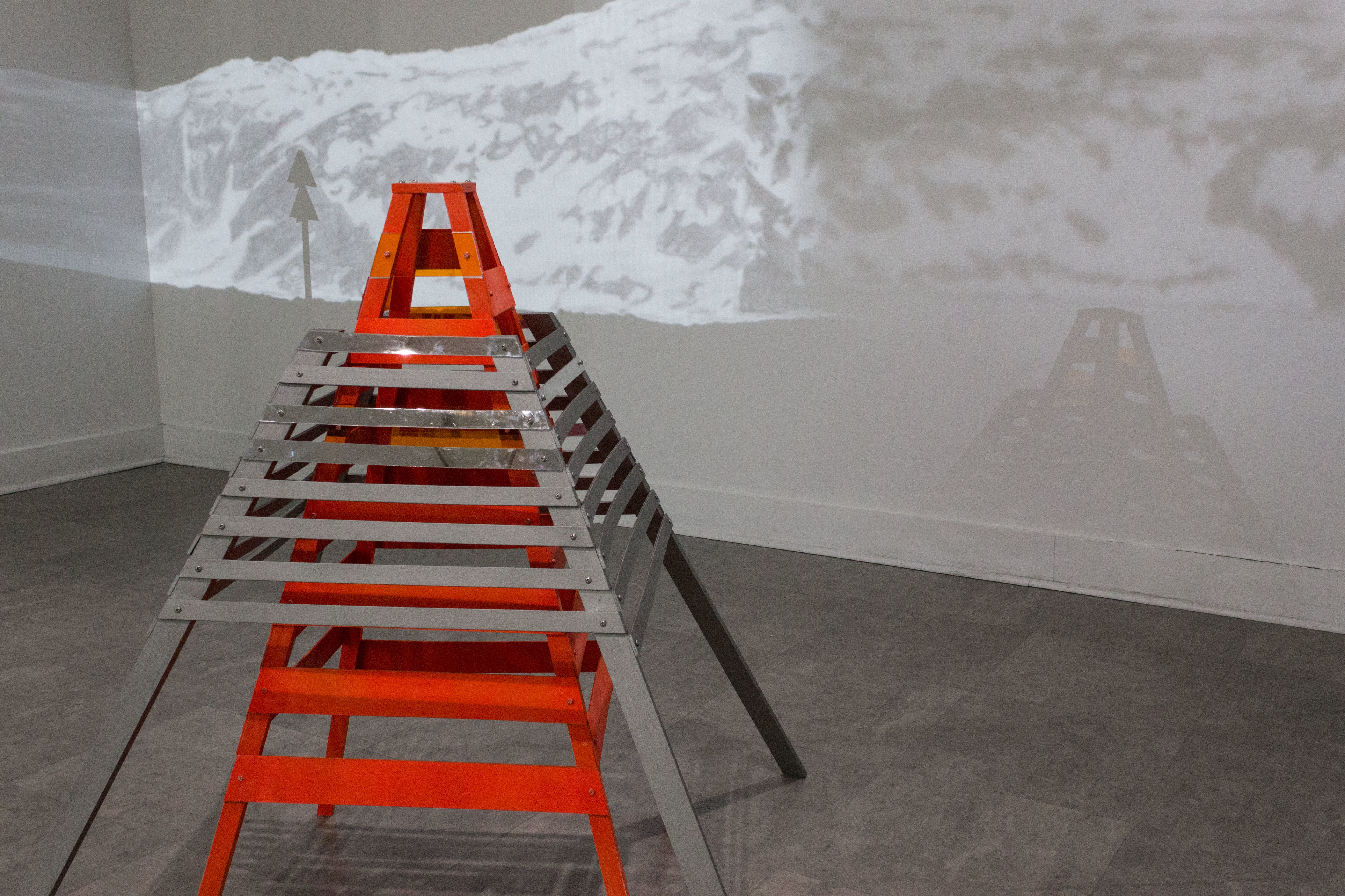
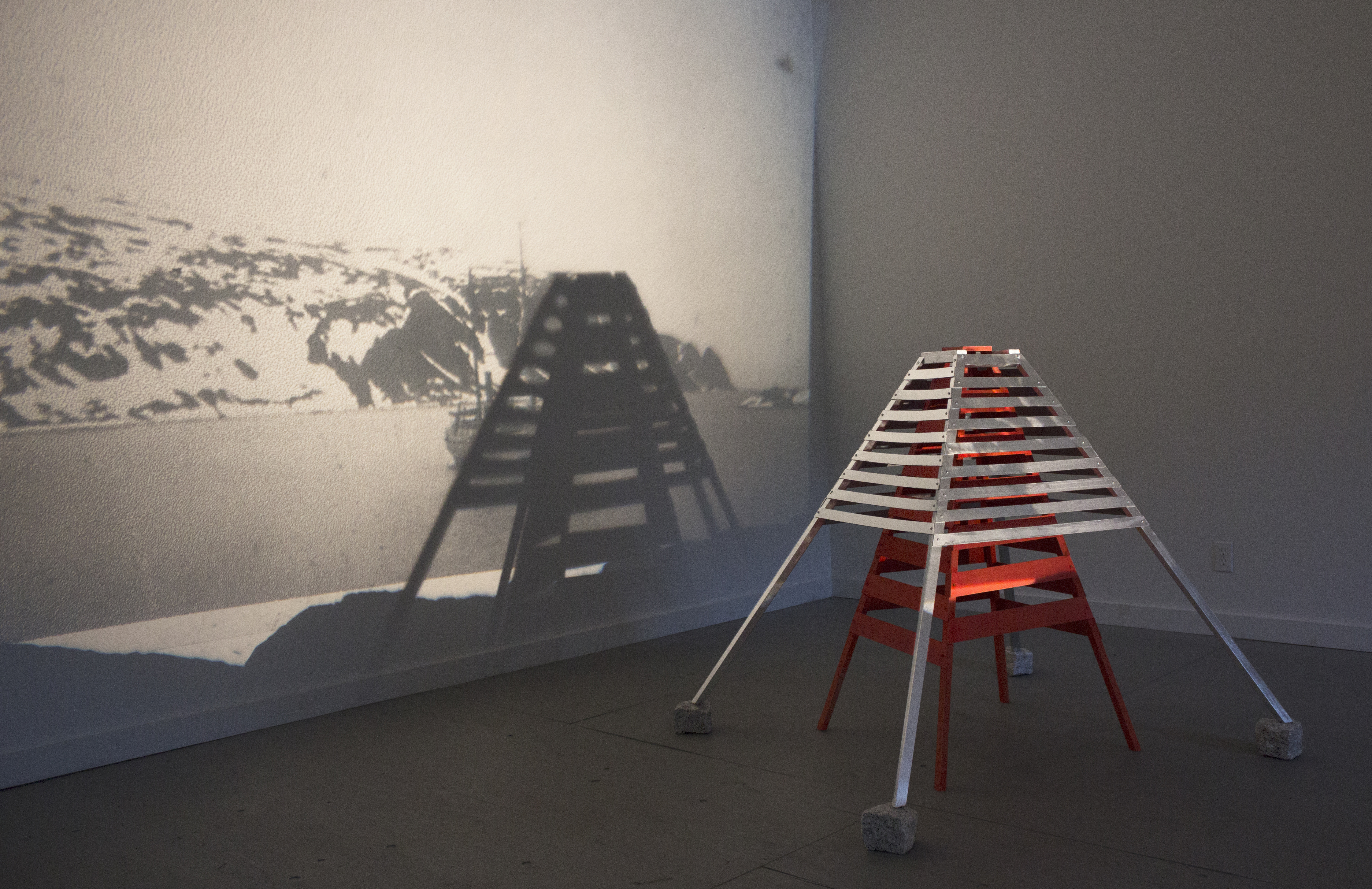
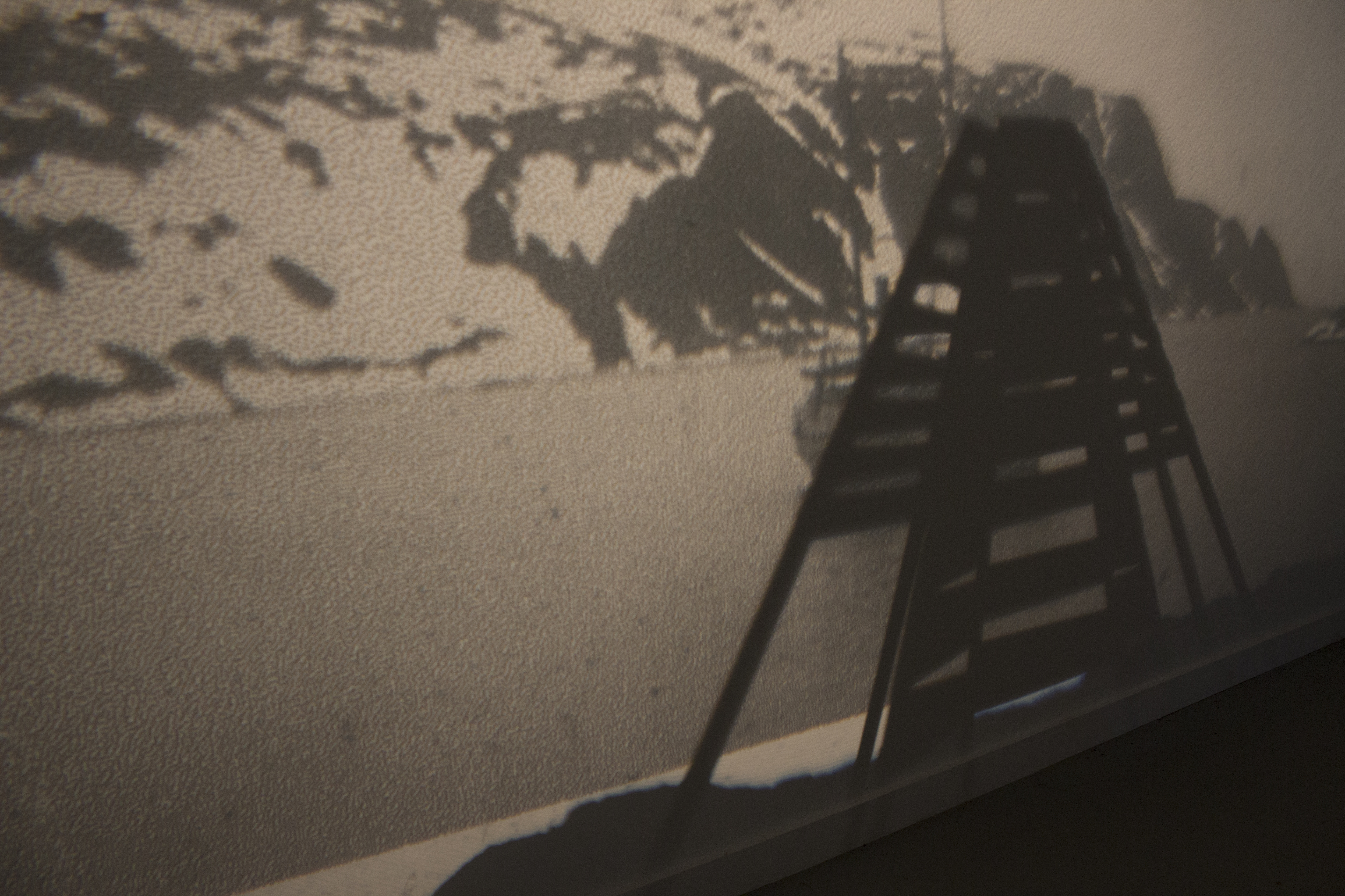
Video and photo projections of Virgohamna taken from our own documentation and S.A. Andree’s documentation. Cairn marking the point where the photograph of Andree’s balloon was taken as he departed Dane’s Island, and the same point where we stood to oversee the landscape of Dane’s Island. Kite flown at same point on Dane’s island with color card charted to match the color of the sky over the course of a day in Providence, RI. Buoy with video tracing our expedition route from the Gulf of Mexico to the high Arctic. Replica of Skerry marker (small beacon used to identify ship hazards) located on Smeerenburg, and as seen from Dane’s Island.


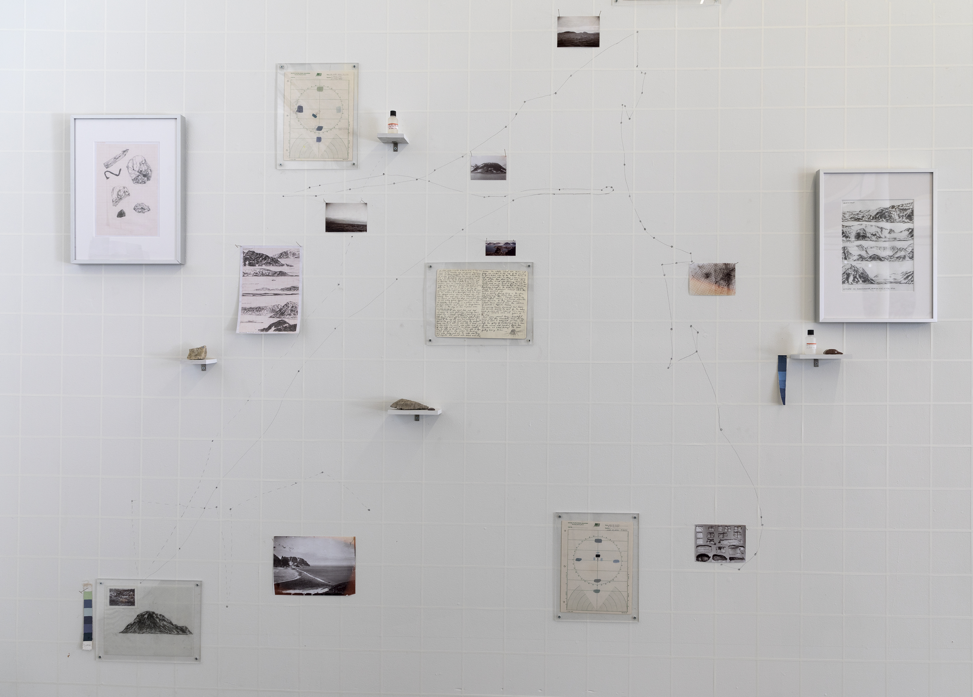
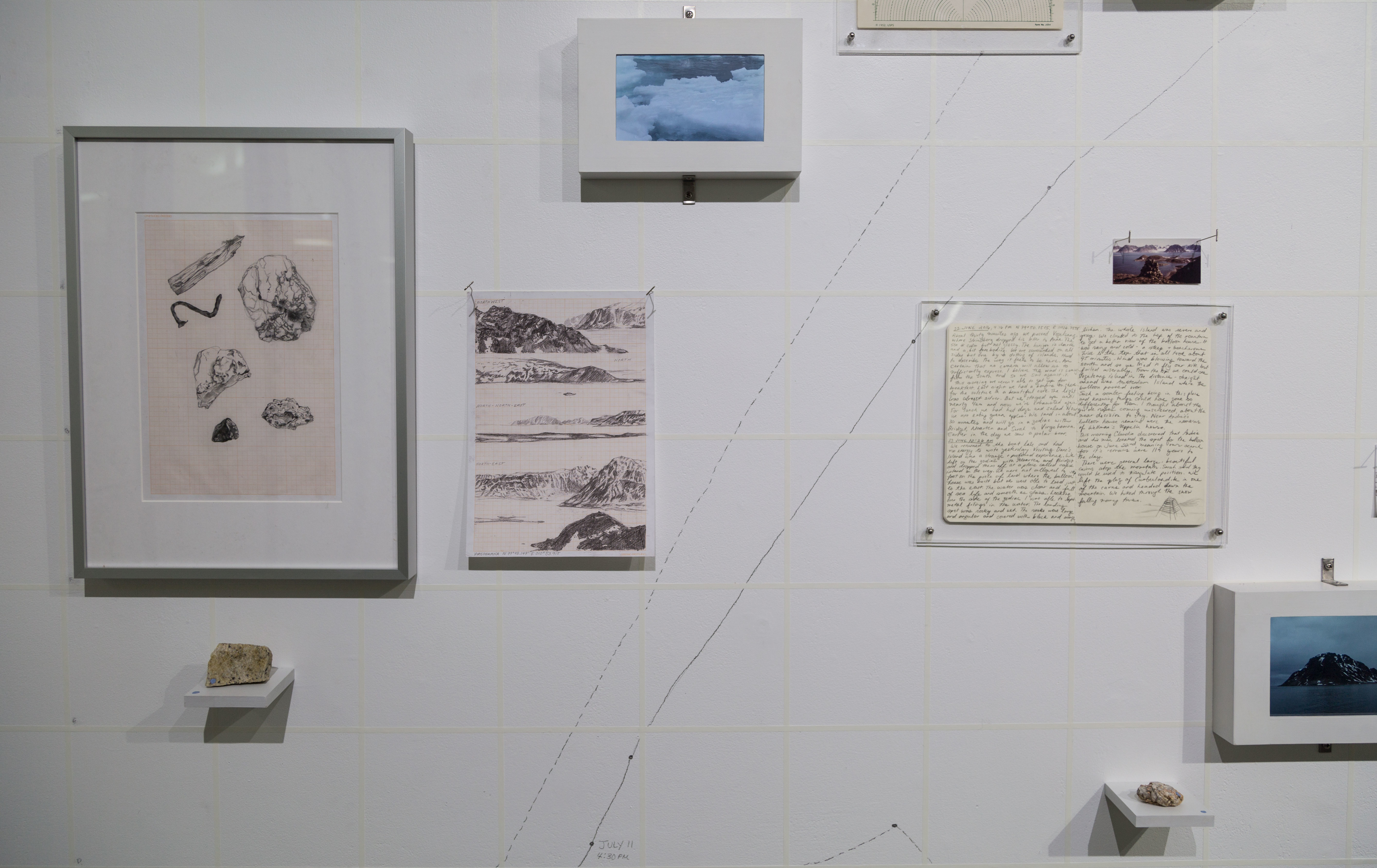
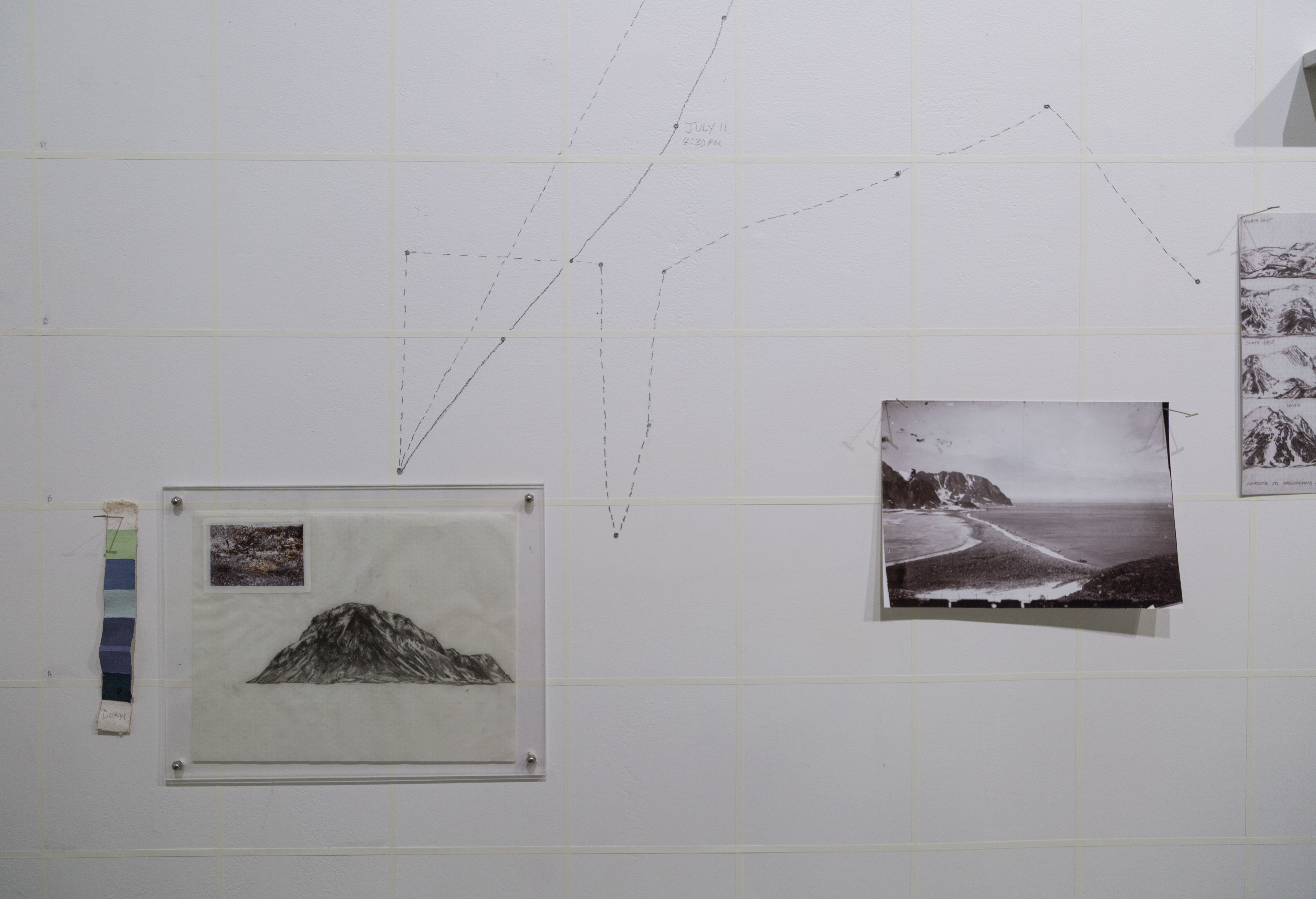
Wall drawing marking our route in the High Arctic in dotted line and Andrée’s route in solid line, objects and drawings placed strategically along the line of that route including (from left to right); drawing of rocks found on Danskøya, rock found on Danskøya painted with swatch to match the sky on that day, coastline drawing of Danskøya, video of pack ice, photograph of cairn on top of Danskøya taken by PJ Capelotti in 1980’s, journal entry from June 23.


Örnen Documentation from Claudia OSteen on Vimeo.