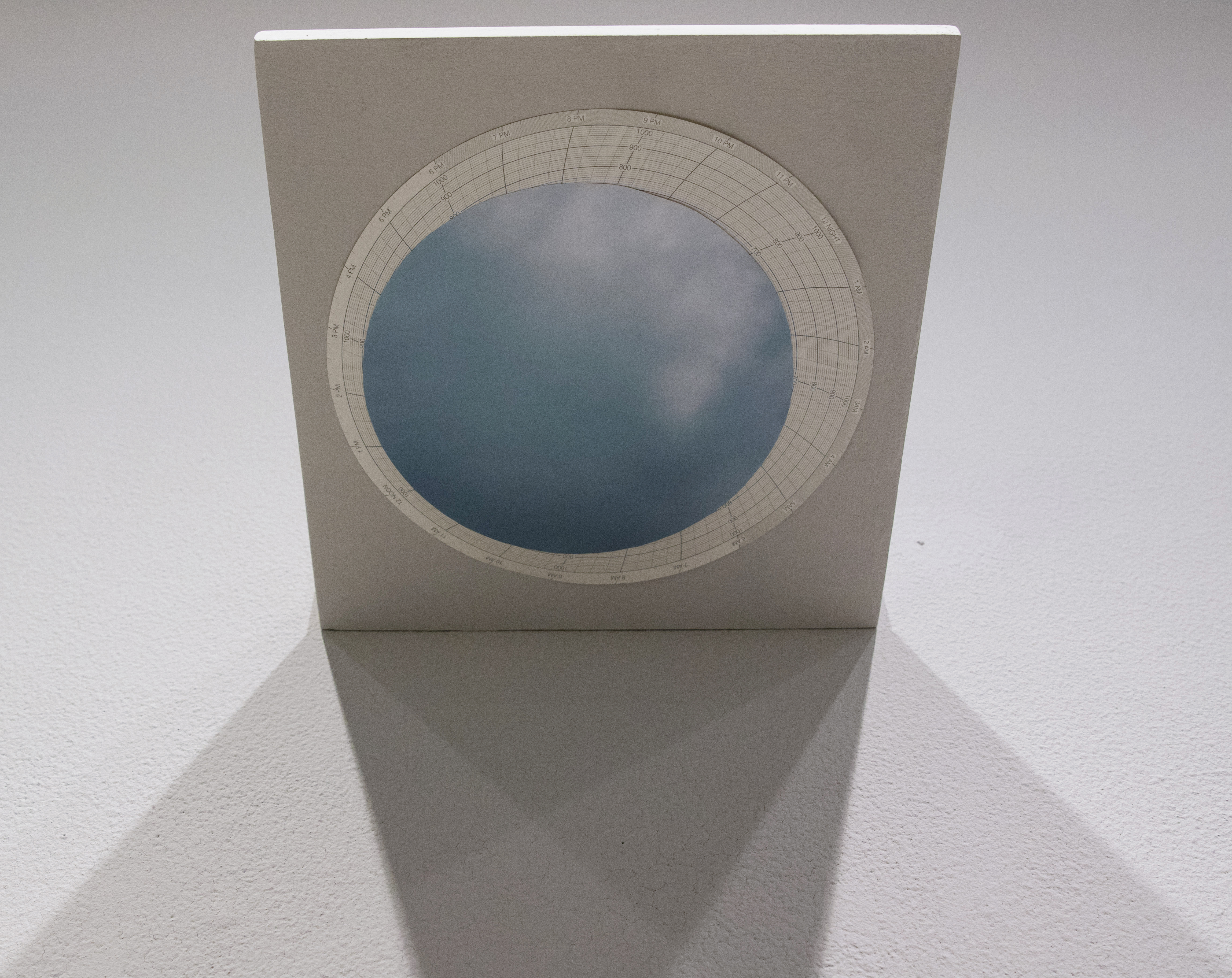
Altered Secchi Methodology (2017)
In Autumn 2016 through Summer 2017 I worked with a team of scientists and artists to sample water along the Gulf of Mexico in order to determine water turbidity, bacteria involved in nutrient cycling, and presence of invasive fish.
Using the collected data as a jumping off point, I created Altered Secchi Methodology. This work references and alters scientific tools used in the sampling process, maps the locations where samples were taken, and borrows from observational methods used by citizen scientists.

Expedition map with marked locations where data was collected by Thomas Asmuth, Alexis Janosik, Megan Gossett, Claudia O’Steen, and Lisa Waidner. Colors on map indicate perceived color of water at select locations, personal journal entries record expedition details, and secchi disk is painted with grayscale and colors to indicate water color at select locations. Polar grids detail two instances of attempting to understand a survey site within the gulf landscape. Polar grid on ceiling reflects color of sky at sample site #3. Projection with journal entry on Polar grid records the experience of sitting underwater for an extended period at sample site #3.
*research in collaboration with Thomas Asmuth


